Geotechnical Domain Builder
Detect and define geotechnical domains using boundaries or volumes. This can be used for classifying or grouping data for analysis, filtering data, or for 3D visualisation
How it works?
To create a model, we progressively subdivide the space using these two methods:
- Inside volume method
- HW/FW method
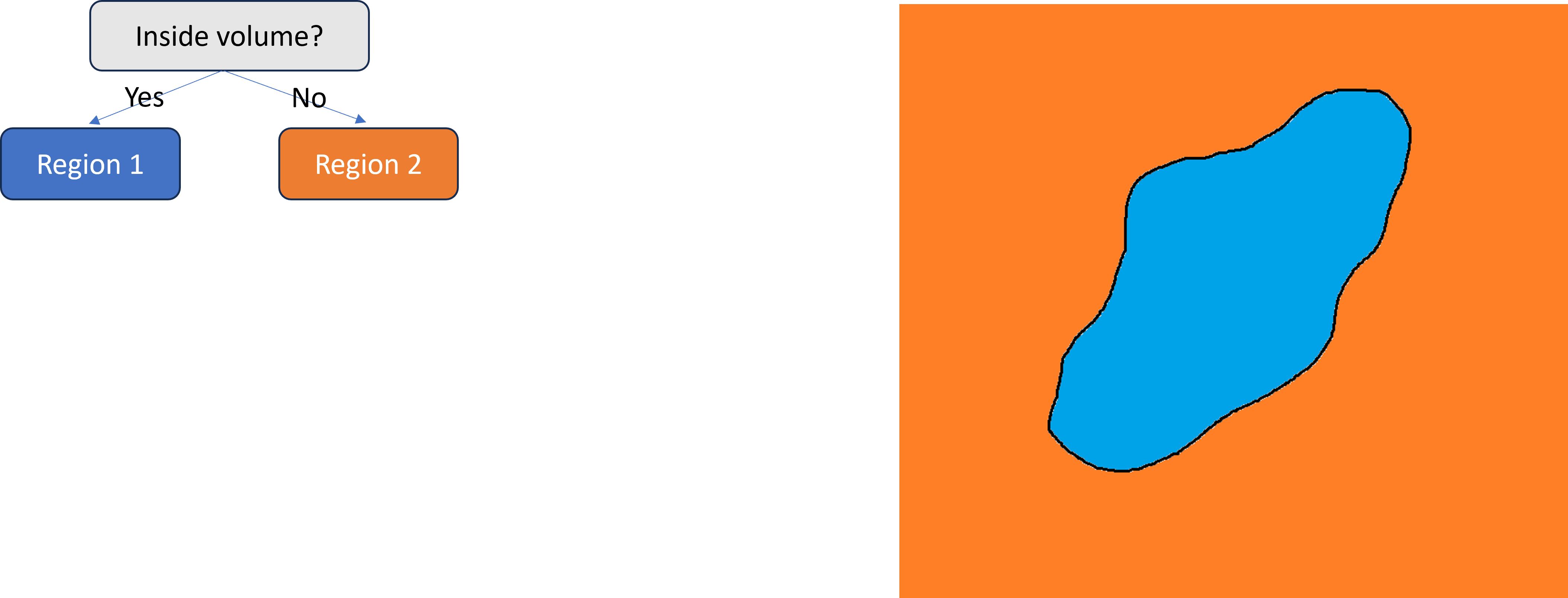
For example, we can start by using the inside volume method, this gives us two spatial regions, inside the volume and outside the volume.
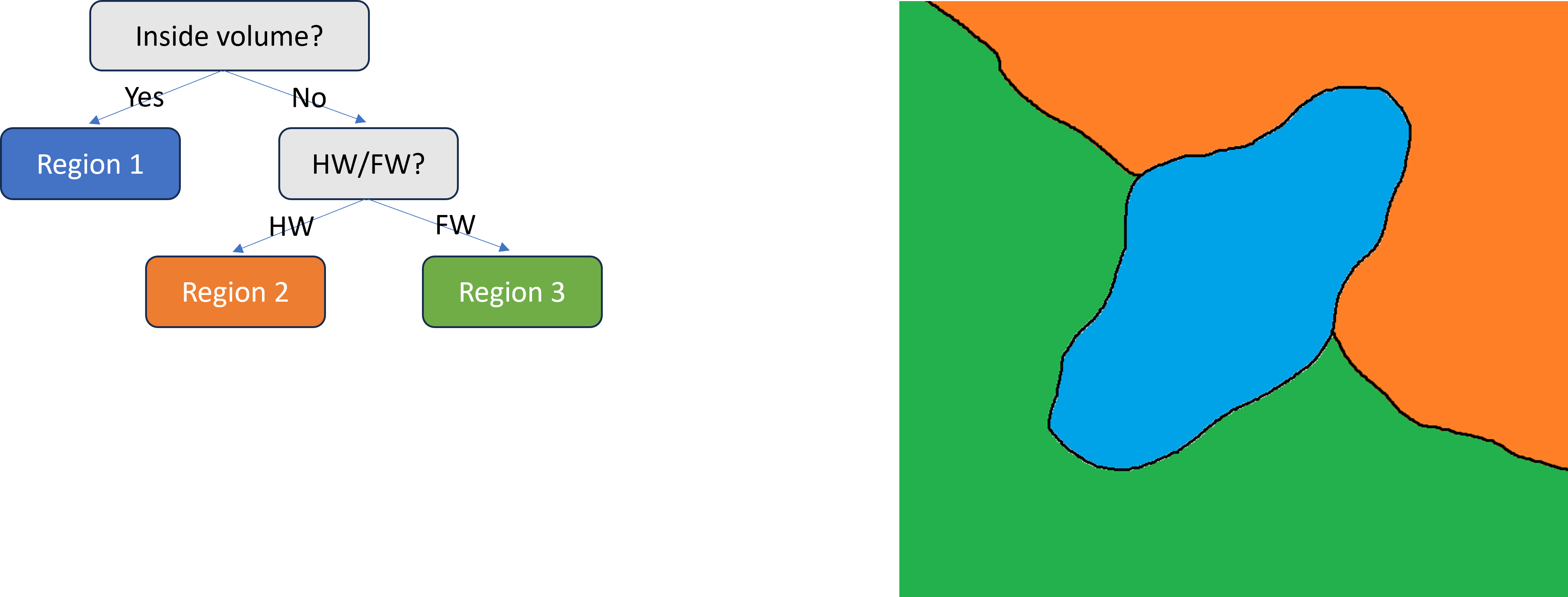
We can then select Region 2 and subdivide it again. This time we've subdivided the previous Region 2 using the HW/FW method to create two sub-regions. We call these points at the bottom "leaf nodes".
The order that you apply these tools can be important.
Even if our HW/FW survey had crossed through the volume in the middle, it would not change the classification of that volume. That would all still be Region 1, because it was determined higher up in the tree.
Typical workflow
- Survey Loading - Load survey data
- Build Regions - Create a new domain model or update an existing model
- Manual build - Define regions using volumes or HW and FW contacts
- Batch Generation - Import an existing domain model defined externally, for example as closed surveys, to generate an equivalent mXrap model
- Define Domains - Group regions into domains and review the results in 3D.
Integration
- Rock Mass Data Analyser: uses the active domain model to tag and group point and interval based data by domain for filtering, summaries and reporting.
- Seismic Suite: uses the active domain model to classify and colour events, blasts and MGM by domain for analysis and visualisation.
Authors
Principal author: Liam Niedzielski
Citation
Niedzielski, L 2026, mXrap software app, Geotechnical Domain Builder, Australian Centre for Geomechanics, Perth, mxrap.com
Further Resources
Publications
No Publications have been done regarding this module yet