Integration in General Analysis
Live Surveys
The geometry model appears as a new series in General Analysis called "Geometry Model."
This series:
- Automatically updates based on current date filters
- Only displays geometry present within the selected time range
- Hides future excavations when backdating analysis
- Enables time-slice analysis through your mine's development history
Marker Styles and Filtering
Customise the display of your geometry model:
- By Type - colour code by excavation type (Development, Stope, Caving)
- By Material - Distinguish between Void, Backfill, Ore, etc.
- By Date - Visualise excavation sequence (blue to red = oldest to newest)
- Highlight Recent - Emphasize recent excavations (e.g., last 3 months in black)
Transparency and Visibility Controls
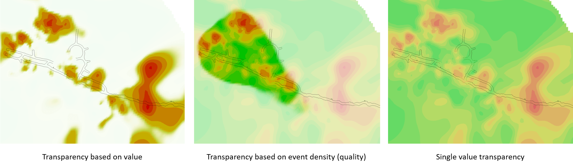
Control what geometry is displayed:
- Adjust transparency levels for better visibility of internal features
- Toggle individual materials on/off
- Toggle individual types on/off
- Filter by specific steps using the step list
Distance Calculations
The Events table includes two new time-aware distance columns:
- Distance to Closest Geometry - Distance to any geometry in the model (development, stopes, etc.)
- Distance to Closest Development - Distance specifically to development excavations
These calculations are time-aware: for an event in 2018, the distance is calculated to the closest geometry that existed at that time, excluding future excavations. This differs from standard distance-to-survey calculations which don't account for temporal relationships.
Time-Slice Analysis
Use the time-slice feature to step through your mine's history:
- Set the date filter to a specific time period
- Geometry automatically updates to show only excavations present at that time
- Seismic events and other data update simultaneously
- Analyse spatial relationships as they existed historically
This capability is invaluable for back-analysis of seismic events, damage incidents, or other time-dependent phenomena.
Videos
Learn how to use the generated MGM models in General Analysis for interpretation.
Troubleshooting
Problem: Geometry model doesn't appear in General Analysis
- Ensure you've clicked "Cache Model as Master"
- Reload data in General Analysis
- Verify the model file exists in the Mine Geometry folder
Problem: Distance calculations show unexpected values
- Remember that distances are time-aware
- Verify the event dates and geometry dates are correct
- Check that the geometry existed at the time of the event